


Geography
Haiti is a tropical island in the Caribbean. Haiti is mostly mountainous. The highest point in Haiti is Pic De Salle, with it being 2,674 meters. Though Haiti is a tropical island it has a lot of dry lands. Haiti doesn’t get a lot of rain which also affects the dry lands. This happens because the mountains block some of the wind from getting over to those areas. The rainiest season gets about 100 in. Haiti lies directly in the middle of the hurricane belt. This is the reason why they have earthquakes and other tropical storms. Haiti experienced one of its biggest earthquakes ever in 2010, which caused a lot of destruction. This caused buildings to collapse and its capital was almost completely destroyed. Today, Haiti is still recovering economically and working to rebuild its infrastructure. Some of Haiti’s natural resources are Bauxite, copper, and calcium just to name a few. Haiti is almost as big as Maryland. Haiti borders one country which is the Dominican Republic. They share a border of 376 km (which is about 234 miles). Haiti takes ⅓ of Hispaniola and the DR takes over the rest. Cuba is about 50 miles away from Hispaniola. Haiti has a natural harbor where Port - au - Prince sits. The natural harbor is called The Gulf of Gonâve. It has a bunch of tiny little islands in it, the largest is Gonâve Island. The highest point for Gonâve Island is Morne La Pierre sitting at 778 meters tall. The Gonâve has been under Haiti’s control ever since Toussaint Louverture in 1804.
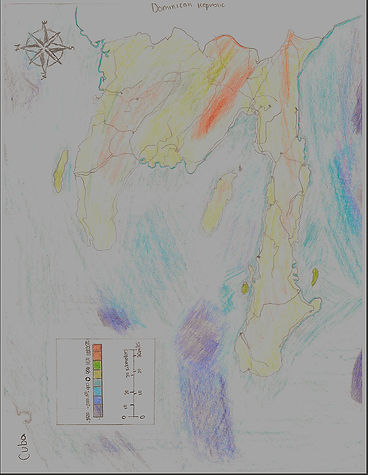

My drawing of Haiti
Google image of Haiti